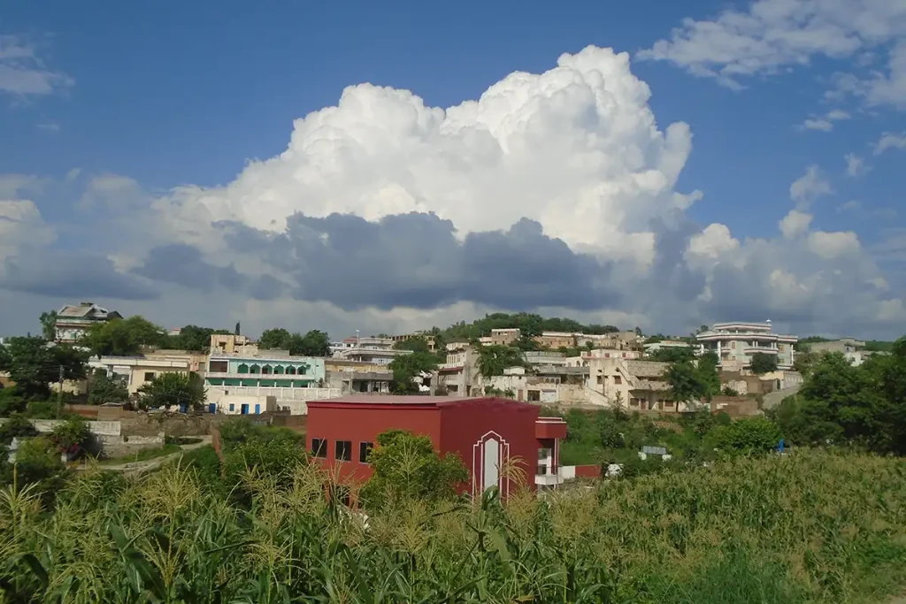
Pind Khurd is bounded by Kotli Sarsawa and Palaak to the north, the river Poonch to the west, the hills leading to Bughoar to the east, and Dheri Phalli or Pind Kalan to the south. The overall region is locally known as Pind, , which was later divided into Pind Khurd (the northern half) and Pind Kalan (the greater southern half), known collectively as Pindey or Pindan.
Pind Khurd had a population of 836 in 1931. The population increased to 912 in 1941, with 451 males and 461 females, there being a total of 212 occupied houses. The area was majority Muslim, with 23 Hindus (9 males and 14 females) and only 3 Sikhs (two males and one female). In 1941, there were 28 literate males. The population increased to 1,775 in 1998.
Etymology
From pind ‘village’ and khurd ‘smaller, lesser’.
Subvillages
Gurra, Khanabad, Kanatta, Kasbian-na-Nakka, Mohra Jarrol, Mohra Mistarian, Kateyra, Thaathi, Nakka, Majha Pindan, Mohra Densaran, Mohra Walaitian, Mohra Baarian, Moohri, Mohra Khakkhian, Mera, Mera Mandral, Mohra Heer, Apli Rupyal, Mohra Rupyal
Demography
Jat (mainly Rupyal and Jarrol, as well as Rachyal, Mandlal, Kalyal, Thothal, Heer, Jaash/Chhaachh, Aasla, Tehal, Matyal, Gangaal among others), Jogi, Sao Jandal, Mistri, Lohar, Qureshi, Mochi, Teli, Bafinda, Hajjam, Mianay, Jheer, and Sheikh (Chamyar).
History
The early settlements are of the Jarrols, descendants of bava Fawju, and the Rupyals, various branches. It is said at one point that there were only three households in Pind: the Rupyal, the Kalyal, and the Choorey. These families invited or brought in other families and the village gradually expanded through migration.
Mandlal are in Thaathi, Kanatta, Mera Mandral, and Mohra Walayatian
Rupyal are in Mohra Rupyal, Thaathi, Mohra Densaran, Mohra Baarian, Mera, Apli Rupyal
Jarrol are in Mohra Jarrol, Thaathi, Khanabad, Gurra
Matyal are in one household of Kanatta
Gangaal are in Thaathi
Rachyal are in Gurra
Aasla are in Moohri and Mohra Khakkhian
Thothal are in Mohra Khakkhian
Heer are in Mohra Heer
Numberdars
- Bava Said Ali Numberdar known as Siddu.
- Bava Allah Ditta Numberdar father of Mohammed Alam Numberdar
- Bava Pir Bakhsh Numberdar moved to Ganoi
Gurra comprises of a few households of Jat Jarrol who moved from nearby Mohra Jarrol, as well as a few homes of Jat Rachyal who originated from Mawa Kaneli and became related to the Jarrol. From the Rachyal, one household moved to Jangwan. In the mid-20th Century, a few of the Jarrol families left to work in Mourgah in Rawalpindi where their descendants still reside.
Khanabad is named after Mohammed Khan (c. 1926 – 9 June 2016) of the Jarrol family. He developed the bazaar or marketplace by the main road.
The area of Khanabad was originally owned by the Jat Jarrol but is now inhabited by a mix of families, some of whom came from nearby Thaathi when affected by the Dam, as well as Mianay or religious teachers (who came from Jajote during the Partition of 1947), and the Hajjam who came from Kajlani, Kotli.
Kanatta refers to a pond of water though it is no longer there. In Kanatta resides a family of Jat Mandral as well as Bafinda or Janjua who originated from Kujrula.
Nakka is named for the cliff. There are Aasla living there and Mandlal who moved after the Dam and one household of Jarrol. There are two Nakkas. One is known as Kasbian-na-Nakka where Bafinda reside and the other was mainly inhabited after the Dam.
The middle area of Pind Khurd is known as locally known Majha Pindan, comprising of Mohra Densaran, Mohra Baarian, Mohra Walayatian and its vicinity.
In Mohra Densaran live the Jat Rupyal, with one household moving to Kheri-ni-Ban.
A small subvillage near Mohra Densaran is Mohra Walayatian in which reside Jat Mandlal. It is named ‘walayatian’ due to elders from there having settled in Britain in the early 1900s.
Mohra Densaran
Mohra Baarian
Mera
Mohra Heer